

Ho Chi Minh City: Modern technology helps identify mass graves of martyrs in Le Thi Rieng Park
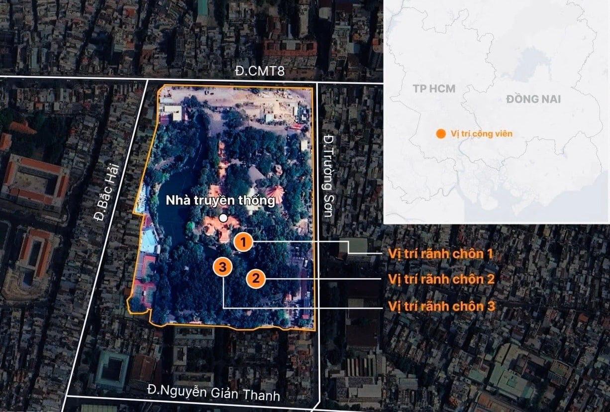
The application of a combination of geophysics methods such as ground-penetrating radar and resistivity measurements is expected to help more accurately identify the mass grave of martyrs in Le Thi Rieng Park. This solution also provides an important scientific basis for the survey, excavation, and collection of martyrs' remains after nearly 60 years.
Combine multiple methods for precise targeting
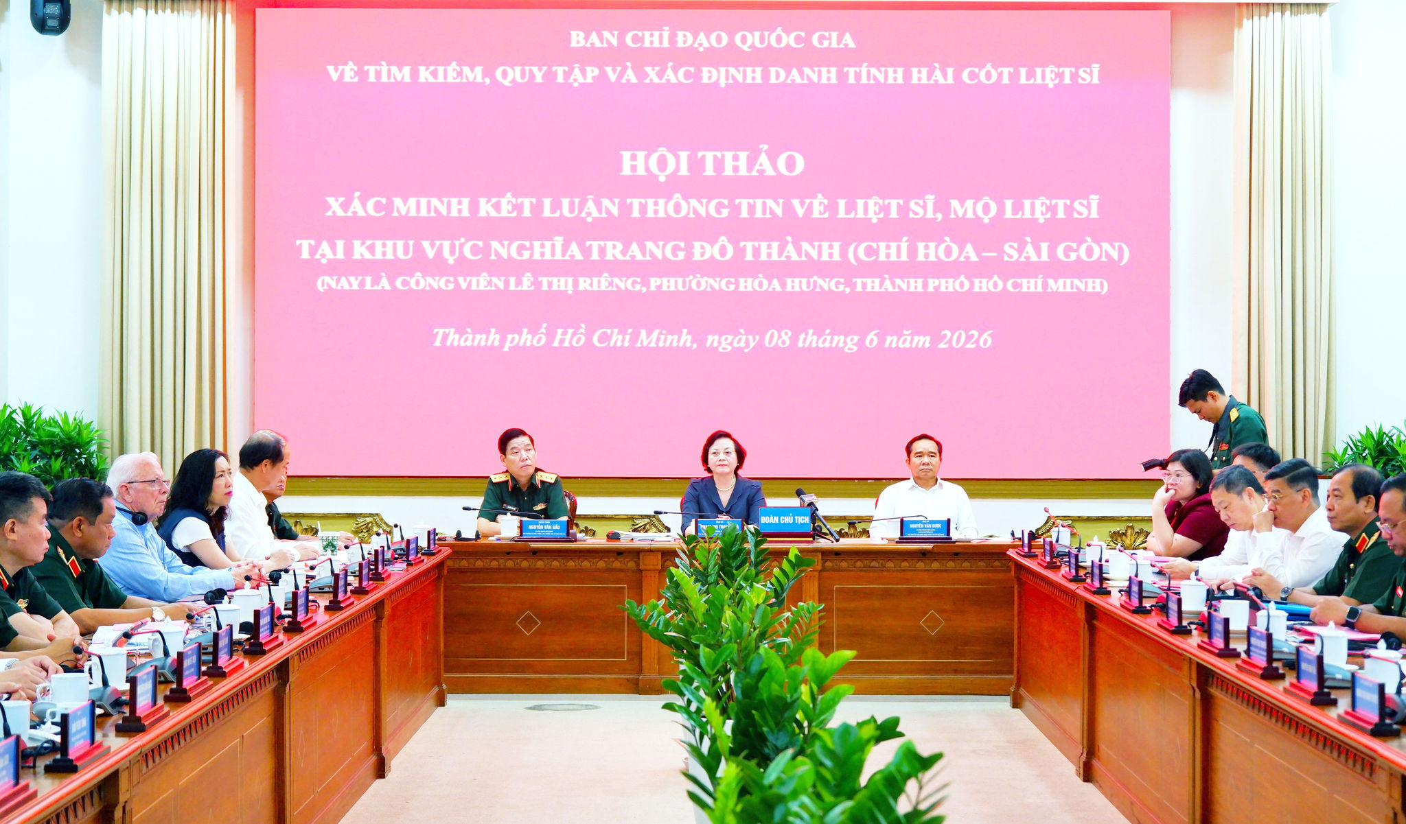
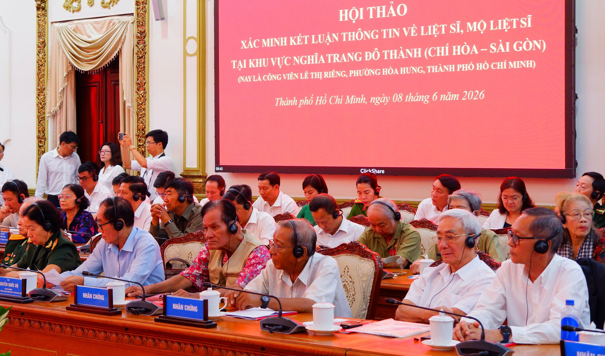
At the workshop on verifying and concluding information regarding the mass grave of martyrs buried at the Do Thanh Cemetery (Chi Hoa - Saigon), now Le Thi Rieng Park, Hoa Hung Ward, held on June 8th, the Steering Committee 515 of Ho Chi Minh City basically agreed with the combination of geophysics methods for identifying the mass grave of martyrs presented by Assoc. Prof. Dr. Le Van Anh Cuong, Faculty of Science (Vietnam National University Ho Chi Minh City).
According to Associate Professor Dr. Le Van Anh Cuong, the search and collection of the remains of fallen soldiers currently faces many difficulties due to incomplete archival materials, a decreasing number of historical witnesses, and significantly changed field conditions over time.
In many urbanized areas, the terrain has been leveled or rebuilt, making burial sites indistinguishable to the naked eye. Therefore, demarcation of burial sites must be expanded over a large area, leading to increased survey time and costs.
In this context, geophysics methods become important supporting tools, enabling non-invasive surveys and the detection of subsurface changes. These methods can identify changes in density, moisture content, geological structure, or the appearance of buried objects.
According to the research team, ground-penetrating radar (GPR) is one of the main methods. This technology uses high-frequency electromagnetic waves emitted into the ground and receives the reflected signals from different soil layers. When encountering areas that have been excavated, backfilled, or have buried objects, the reflected signals will be different from the surrounding area, thereby helping to identify locations that need to be focused on for surveying.
The advantage of GPR is its ability to create cross-sectional images of the underground, supporting the rapid detection of anomalies within shallow survey areas. However, its surveying capability depends on the soil characteristics, especially moisture content and electrical conductivity.
In addition, the direct current resistivity measurement (ERT) method works by passing an electric current through an electrode system to the ground. Based on differences in soil moisture, composition, and structure, this method allows for the identification of areas showing signs of changes beneath the surface.
Compared to ground-penetrating radar, ERT has the capability to survey at greater depths and is suitable for a wider variety of terrains. However, deployment requires the placement of electrode systems on the ground and takes more time to implement.
According to Associate Professor Dr. Le Van Anh Cuong, combining GPR and ERT will improve accuracy in zoning. While GPR provides images of underground reflections, ERT reflects changes in geological properties. Comparing the two data sources helps to more clearly identify suspicious areas, reducing errors compared to using each method individually.
Furthermore, the surveying process can be supported by other technologies such as electromagnetic sensors, shallow seismic surveys, 3D mapping, unmanned aerial vehicles (UAVs), digital maps, and artificial intelligence (AI) to increase the efficiency of data synthesis, analysis, and processing.
The Ministry of Defense is providing maximum support for survey and excavation work.
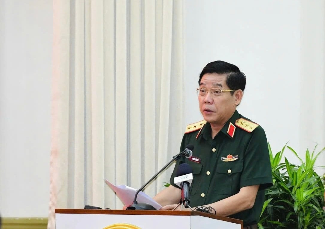
At the workshop, Central Committee member, Deputy Minister of National Defense, Lieutenant General Nguyen Van Gau stated that the Ministry of National Defense will direct and support Ho Chi Minh City with personnel, equipment, and technical means to serve the survey and excavation of the mass grave of martyrs at Le Thi Rieng Park.
The Ministry of National Defence will direct the Command of Military Region 7 to closely coordinate with the People's Committee of Ho Chi Minh City to finalize the plan for field surveys, organize excavations, and search for the remains of fallen soldiers; at the same time, mobilize forces, equipment, and scientific and technological achievements to provide maximum support, ensuring that the search and repatriation process is carried out effectively and efficiently.
The Logistics and Technical Department (Engineering Corps) will deploy specialized forces and necessary equipment, especially ground-penetrating radar systems, to conduct exploration, surveying, and underwater scanning of the entire search area.
In addition, the authorities will advise on plans to invest in additional modern equipment and train specialized personnel to accelerate the progress of surveying, excavating, and verifying information.
On the morning of June 15th, the Ho Chi Minh City Command, in coordination with specialized units, conducted a survey and search for the remains of fallen soldiers in the Le Thi Rieng Park area (Hoa Hung Ward, Ho Chi Minh City).
The Operations Department, the General Political Department, the Social Policy Department, and other relevant agencies were tasked with urgently reviewing and standardizing the records and lists of martyrs, unit designations, and combat zones related to the battles in Saigon - Gia Dinh during the Tet Offensive and Uprising of 1968. "This will be an important basis for cross-referencing, identifying, and determining the identities of the martyrs' remains after excavation," the Deputy Minister of National Defense stated.
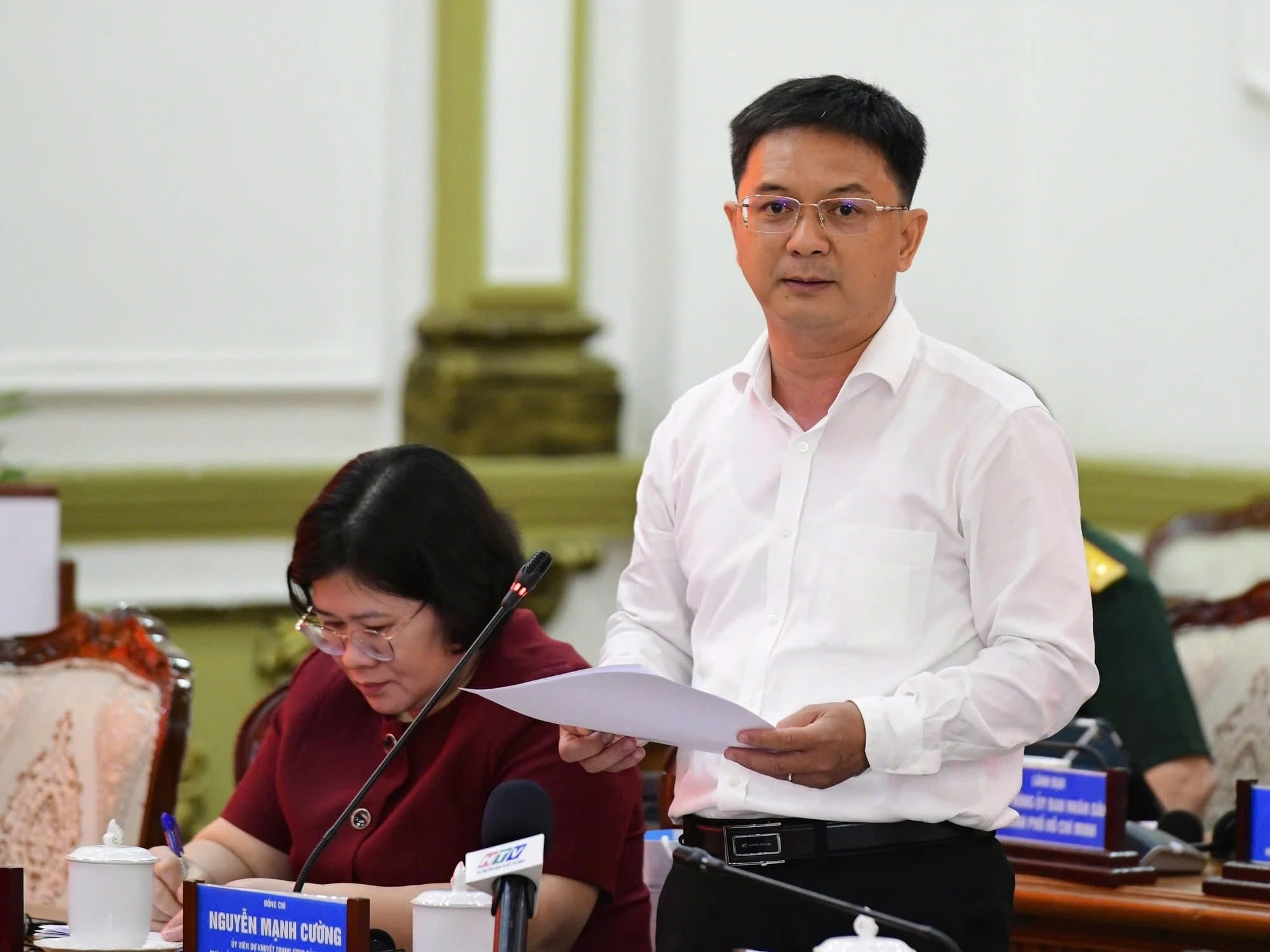
Emphasizing that the search and collection of the remains of fallen soldiers is a particularly important political task, linked to the principle of "drinking water, remembering the source," Vice Chairman of the Ho Chi Minh City People's Committee Nguyen Manh Cuong said that in recent times, the city has coordinated with specialized agencies, scientists, and historical witnesses to review documents, maps, and aerial photographs; and at the same time combined field surveys and the application of technology to pinpoint areas suspected of containing mass graves.
In the coming period, Ho Chi Minh City will continue to implement the next steps cautiously and scientifically; perfecting the legal framework, ensuring technical conditions and land availability, and mobilizing experts, research institutions, and universities to participate in support, with the determination to soon clarify information related to the mass grave of martyrs in Le Thi Rieng Park.